
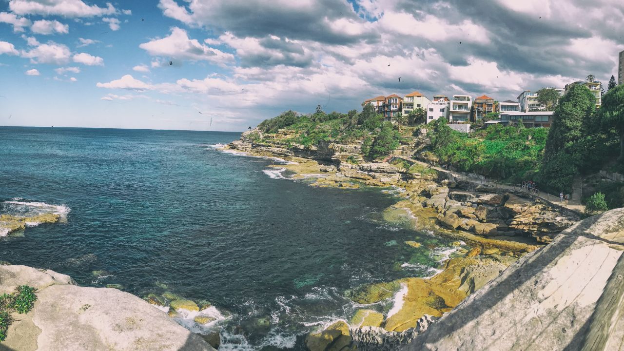

Both Sydney and Melbourne offer walking trails that are easy to fit into a weekend, short trip or longer stay. In Sydney, many scenic routes follow the coast, linking beaches, headlands, harbour views and clifftop lookouts. In Melbourne, parkland walks often centre around rivers, lakes, native bushland and open green spaces. This guide covers some of the best walking trails across Sydney’s coastal areas and Melbourne’s parklands, with key details on distance, duration and difficulty to help you choose a route that suits your plans.
Best Sydney Coastal Walks With Views
Bondi to Coogee Walk
- Location: Bondi Beach to Coogee Beach, NSW
- Distance: 6km one way
- Duration: Two to three hours
- Difficulty: Grade 2 / Easy to moderate.
The Bondi to Coogee Walk is one of Sydney’s most recognisable coastal trails, linking beaches, ocean pools, sandstone platforms and clifftop sections in one clear route. What makes the walk stand out is the steady change of scenery, from the open sweep of Bondi to smaller beach pockets such as Tamarama, Bronte and Clovelly before finishing at Coogee. The route is suitable for most fitness levels, although some stair sections add a little effort along the way. It’s a strong choice for visitors who want classic Sydney coastal views without needing a full-day hike.
Federation Cliff Walk
- Distance: 5km one way
- Duration: 1.5 hours
- Difficulty: Easy
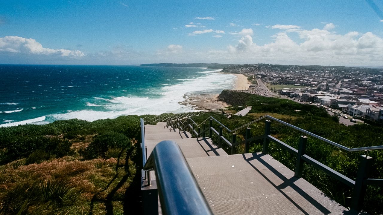
Federation Cliff Walk follows the eastern edge of Sydney from Dover Heights towards Watsons Bay, with wide Pacific Ocean views and exposed sandstone cliffs shaping much of the experience. Unlike busier beach-to-beach walks, this trail feels more open and elevated, with long stretches where the ocean sits directly beside the path. Macquarie Lighthouse and The Gap are key visual markers, while the cliffs around Raleigh Reserve give the route a more dramatic feel than many short urban walks. Federation Cliff Walk is especially rewarding for walkers who want big coastal views without committing to a long route.
Spit Bridge to Manly Walk
- Start: Spit Bridge, Mosman
- Finish: Manly
- Distance: 10km one way
- Duration: 3.5–4 hours
- Difficulty: Moderate
The Spit Bridge to Manly Walk is a varied harbour trail that moves through bushland, quiet beaches, reserves and lookout points before ending near Manly. The walk’s strength is the way it combines natural and urban Sydney in one route. You can pass Aboriginal engraving sites, sheltered coves, harbour viewpoints and leafy bush tracks without feeling locked into one type of scenery. The route is longer than most casual coastal walks, so Spit Bridge to Manly Walk suits walkers who want a half-day experience with enough variety to stay interesting from start to finish.
Hermitage Foreshore Walk
- Start: Nielsen Park or Bayview Hill Road, Vaucluse NSW 2030
- Distance: 1.8km one way
- Duration: 30 minutes to one hour
- Difficulty: Grade 3 / Easy to moderate
Hermitage Foreshore Walk is a short harbour-side route within Sydney Harbour National Park, making it ideal for walkers who want views without committing to a long trail. The path offers clear outlooks towards Shark Island, the Sydney Harbour Bridge and the grounds of Strickland House. Its defining feature is the way it combines a compact walking distance with classic harbour landmarks, making Hermitage Foreshore Walk the best choice for visitors, families or locals wanting a scenic walk that can easily be paired with a picnic or swim near Nielsen Park.
Bradley’s Head to Chowder Bay Walk
- Start near Taronga Zoo / Bradleys Head, Mosman
- Finish: Chowder Bay.
- Distance: 4km one way
- Duration: 1.5 to 2.5 hours
- Difficulty: Grade 3 / Easy to moderate
Bradleys Head to Chowder Bay Walk brings together harbour views, bushland and local history in a route that starts near Taronga Zoo and finishes close to the cafés at Chowder Bay. The trail’s standout feature is its perspective on Sydney’s most famous icons, with the Opera House and Harbour Bridge visible from key points along the headland. Military relics at Bradley’s Head add a heritage layer, while the bush tracks and harbour edges keep the experience grounded in the natural setting of Sydney Harbour National Park.
- Location: 1199D Barrenjoey Rd, Palm Beach NSW 2108
- Distance: 1km each way
- Duration: 30 minutes each way / around 1 hour return
- Difficulty: Moderate
The Barrenjoey Lighthouse Walk is short but steep enough to feel rewarding, climbing from Palm Beach towards one of Sydney’s most distinctive headland viewpoints. Its main difference is the peninsula view from the top, where Broken Bay, Ku-ring-gai Chase National Park and the Pacific Ocean sit in separate directions. The lighthouse itself gives the walk a strong destination point, while the steep sections make the final lookout feel earned. Barrenjoey Lighthouse Walk is a good option for walkers who want a shorter route with a memorable coastal payoff.
Best Walking Trails in Melbourne Parklands with Stunning Views
Darebin Parklands
- Location: Separation St, Alphington VIC 3078
- Distance: Approx. 2–3km depending on the route
- Duration: 30 minutes to 1.5 hours
- Difficulty: Easy
Darebin Parklands offers a calmer, more enclosed walking experience than Melbourne’s larger open parks. The loop from the Separation Street side moves through creekside areas, native plantings and quiet reserve spaces, creating a strong sense of local bushland close to inner suburbs. What makes Darebin Parklands different is its restored landscape story. The reserve was once neglected land, but is now known for birdlife, native habitat and community-led regeneration. Darebin Parklands suits walkers wanting a gentle route with a natural, neighbourhood feel.
Albert Park
- Location: Albert Park, Melbourne, VIC
- Distance: Approx. 5km lake loop
- Duration: around 1 hour, longer with stops
- Difficulty: Easy
Albert Park is built around a broad lake loop, making it one of Melbourne’s easiest parkland walks for visitors who want open views without uneven terrain. The setting feels spacious and social, with walkers, runners, sports fields and city-facing outlooks all sharing the same landscape. Albert Park’s main appeal is flexibility. You can complete the lake loop as a simple walk, stop for coffee nearby or turn it into a relaxed half-day outing. The skyline views also make Albert Park a practical option for visitors wanting a scenic Melbourne walk close to the city.
Yarra Bend Park
- Location: Yarra Bend Park, Fairfield/Kew VIC
- Distance: 500m to 6.3km (different walks)
- Duration: 20 minutes to 2 hours, depending on route
- Difficulty: Easy to moderate, depending on the trail.
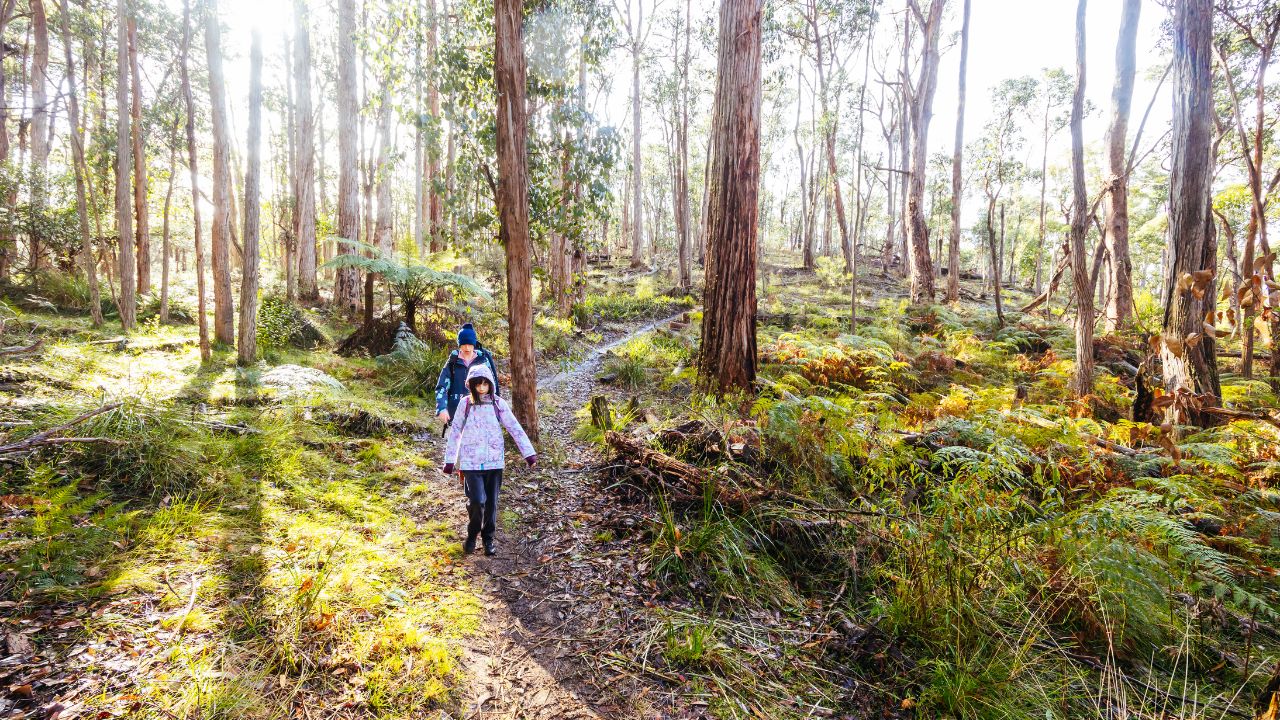
Yarra Bend Park offers several walking options, from short nature trails to longer circuits near Dights Falls and the Main Yarra Trail. The park’s strongest feature is the contrast between river bends, escarpments, bushland and city views, all within inner Melbourne. Trail options include short walks such as the Bat Colony Nature Trail, as well as longer routes around Dights Falls. Yarra Bend Park is especially worthwhile near sunset, when the flying-fox colony becomes part of the landscape rather than just a background detail.
Brimbank Park
- Location: Keilor Park Dr, Keilor East VIC 3033
- Best starting point: Carpark A
- Distance: 3.5km loop
- Duration: 1.5 hours
- Difficulty: Easy
Brimbank Park is a strong choice for walkers who want open space, river scenery and a sense of Melbourne’s western landscape. The Brimbank Loop Walk follows the Maribyrnong River before rising towards panoramic views across the park’s natural basin. What sets this walk apart is the visible geological character of the area, with escarpments showing layers of basalt and sandstone shaped over long periods. River Red Gums, birdlife, and the broader Maribyrnong River Trail give the route a quieter, more spacious feel than many inner-city park walks.
Pound Bend River Walk, Warrandyte State Park
- Location: Pound Bend Rd, Warrandyte VIC 3113
- Best starting point: Carpark A
- Distance: 2.4km return, 1 hour, gentle/easy
- Duration: 1 hour
- Difficulty: Easy
Pound Bend River Walk offers a bushland-focused route within reach of Melbourne, following the Yarra River through a quieter section of Warrandyte State Park. The setting is defined by tall manna gums, river flats and a calmer rhythm than the city’s more formal parks. Its most distinctive feature is the link to Warrandyte’s gold history, including views of the Yarra River flowing through the Evelyn Tunnel. The walk is gentle, but still feels removed from the urban pace, making the Pound Bend River Walk ideal for a quiet morning or family-friendly nature stop.

Tips Before Planning a Walking Trail in Sydney or Melbourne
- Before heading out, wear comfortable shoes and clothing suited to changing coastal or parkland conditions.
- Bring a hat, sunscreen and plenty of water, especially for longer walks such as Spit Bridge to Manly or exposed routes like Federation Cliff Walk.
- Stay aware of your surroundings, keep to marked paths and avoid disturbing wildlife.
- For longer or less familiar trails, let someone know where you are going and when you expect to return.
- Check the weather, park alerts and transport options before you leave.
Stay Close to Australia’s Most Scenic Walking Trails with L’Abode Accommodation
After a coastal walk in Sydney or a parkland escape in Melbourne, staying nearby makes the experience easier and more relaxed. L’Abode Accommodation offers stylish, fully furnished homes in well-connected locations, giving guests more space, privacy and flexibility than a standard hotel stay.
For homeowners, L’Abode Accommodation’s property management service provides a trusted way to help improve rental performance while maintaining high guest standards. Whether you are planning a scenic stay or looking to list your property, L’Abode Accommodation helps guests and property owners stay connected to Australia’s most desirable lifestyle destinations.
Frequently Asked Questions (FAQs)
What are the best walking trails in Sydney for coastal views?
Some of the best Sydney coastal walks include Bondi to Coogee, Federation Cliff Walk, Spit Bridge to Manly, Hermitage Foreshore Walk, Bradleys Head to Chowder Bay and Barrenjoey Lighthouse Walk. These routes offer a mix of beach access, harbour viewpoints, sandstone cliffs, bushland and headland paths.
Which Sydney coastal walk is best for beginners?
Hermitage Foreshore Walk is a good option for beginners because it is short, scenic and usually takes around 30 minutes to 1 hour. Bondi to Coogee is also manageable for many walkers, although it is longer and includes some stair sections.
What are the best walking trails in Melbourne’s parklands?
Popular Melbourne parkland walks include Darebin Parklands, Albert Park Lake Loop, Yarra Bend Park, Brimbank Park and Pound Bend River Walk in Warrandyte State Park. These trails suit different plans, from short riverside walks to longer park loops with picnic areas and nature views.
Are these walking trails suitable for families?
Yes, many of these trails are suitable for families, especially Hermitage Foreshore Walk, Darebin Parklands, Albert Park Lake Loop, Brimbank Park and Pound Bend River Walk. For longer routes such as Spit Bridge to Manly or Bondi to Coogee, it is best to plan breaks, bring enough water and check transport options in advance.
What should I bring before starting a walking trail in Sydney or Melbourne?
Bring comfortable walking shoes, water, sunscreen, a hat and weather-appropriate clothing. For longer walks, it is also useful to carry a charged phone, check the route beforehand and let someone know your planned start and finish points.